Today, I planned to do a bit of a full day hiking. At the visitor center, I got the hiking map and asked for distances. Of course, I did plan my day with a bit of generous tolerances in that respect. A good decision as I found out by the end of the day, when my GPS showed me the real distance. It kind of matched the information from the visitor center – in nautical miles though.
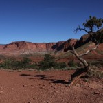
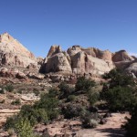
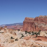
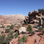
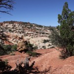
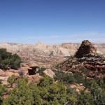
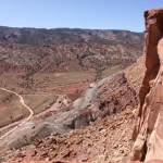
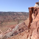
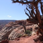
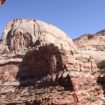
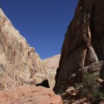
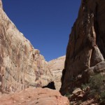
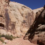
The hike itself was quite spectacular. First the route was kind of like hiking in the alps, just with colored mountains around and a very nice view to all sides. In the second part, it became a hike in a dry river bed. In some places, the vertical walls of that river measured over 100 meters, which was quite impressive too.
You must be logged in to post a comment.